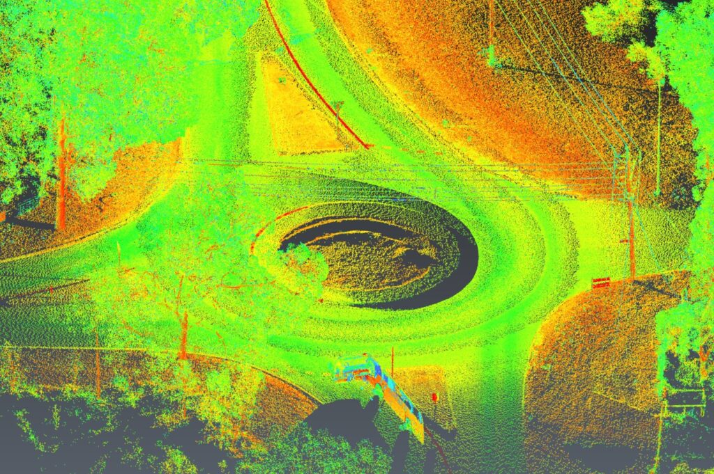
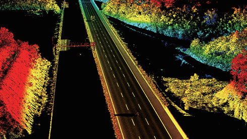
We provide high-speed, high-accuracy mobile mapping for roads, infrastructure and large-scale assets. Using advanced vehicle-mounted LiDAR, cameras and GNSS/IMU positioning, we capture dense spatial data at traffic speed, delivering survey-grade results safely and efficiently.
Our mobile mapping system collects millions of points per second, producing accurate 3D models, digital twins and detailed asset information without disrupting operations.