
Home » Surveying
Our surveyors use the latest GPS, robotics, and reflector less Total Station technology. We combine the latest field equipment with the most powerful surveying and civil engineering software 12d Model along with Civil 3D to deliver the most efficient and fastest solutions to civil, road and bridge projects.
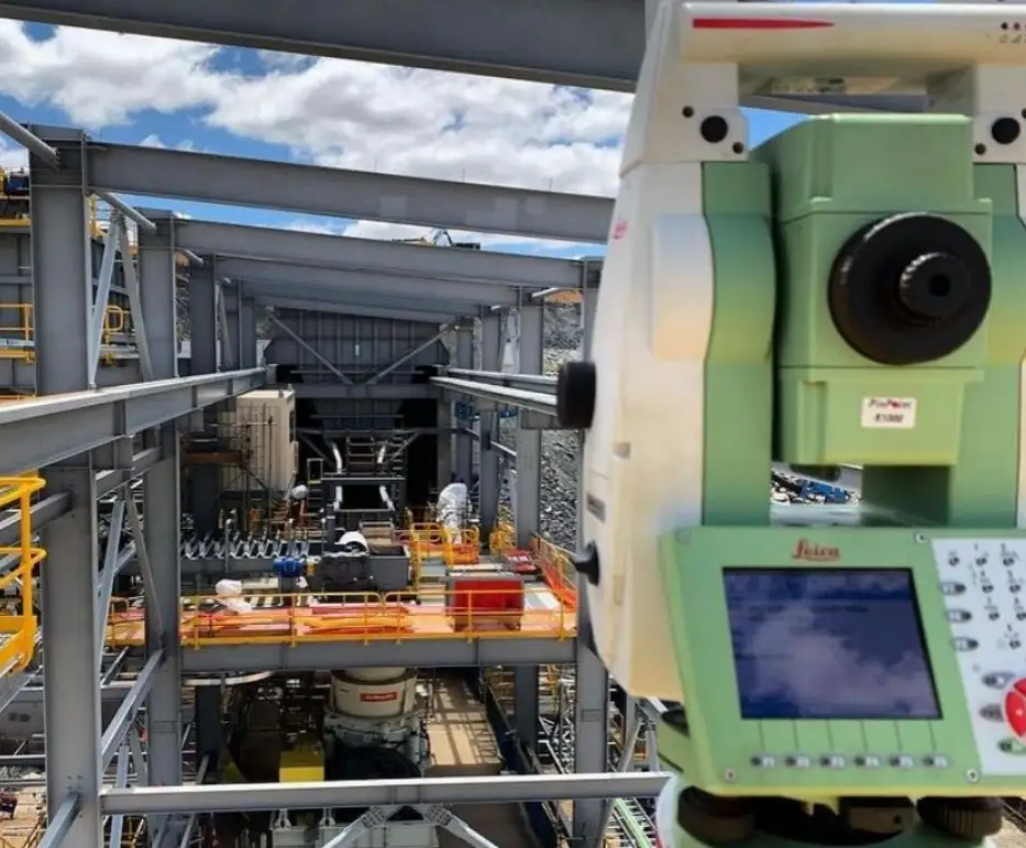
Benchmark Surveys are proficient in all elements of construction and engineering surveying. We can provide the below engineering and construction survey services.
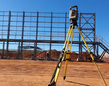
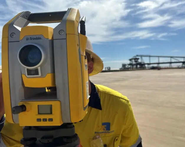
Benchmark Surveys can provide you with the best quality and most accurate detail and topographic surveys at the best value for money.
All our detail surveys are processed in the powerful software package 12d Model and plots finalised in Civil 3D or Autocad.
Our locators have up to 12 years’ experience with underground service locating in around Perth and the Pilbara region, Benchmark locaters are fully DBYD, and Telstra accredited. Our locaters have experience working on BHP and RIO Tinto mine sites dealing with challenging work conditions.
Some of the projects our locaters have been involved in Metro net. Mitchell Fwy extension, North Link, Garden Island and many more. With years of experience in the industry our locaters have a great understanding of the layout of all underground utilities in and
around WA.
Benchmark Locaters are familiar with all kinds of ground conditions around WA using ground penetrating radar (GPR) Which significantly increases our success rate finding buried utilities in the toughest conditions.
Benchmark locate uses top quality equipment for the most accurate results when scanning for underground utilities and vacuum excavation for potholing to ensure correct depth and alignment to avoid any service strikes.
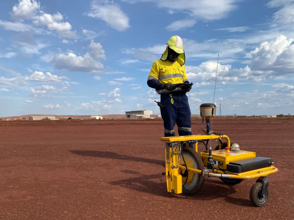
The Tiny Surveyor is a robotic per-marker tool that saves time, increases safety and enable the user to mark out lines automatically. All Tiny needs is a DXF or CSV file and he’s off.
Key benefits of using Tiny Surveyor Robot:
Established in 2007, we have been providing comprehensive surveying solutions across a broad range of sectors which has helped shape the Perth and greater West Australian landscape.